
Integrate your data and automate repetitive processes with the FME platform
Optimize your business processes and gain a competitive advantage through data integration and automating processes.
- Do you have large amounts of data from many different sources and struggle with synchronization and migrating between systems?
- Does gathering and manually verifying data take a lot of time that could be spent on other business activities?
- Do you observe delays in your projects due to disorganized, low-quality data?
- Do you use many different systems and wish you could integrate them using one tool so that you can uncover and share crucial information?
- Are you having trouble managing many systems and adding new tools makes integration even harder?

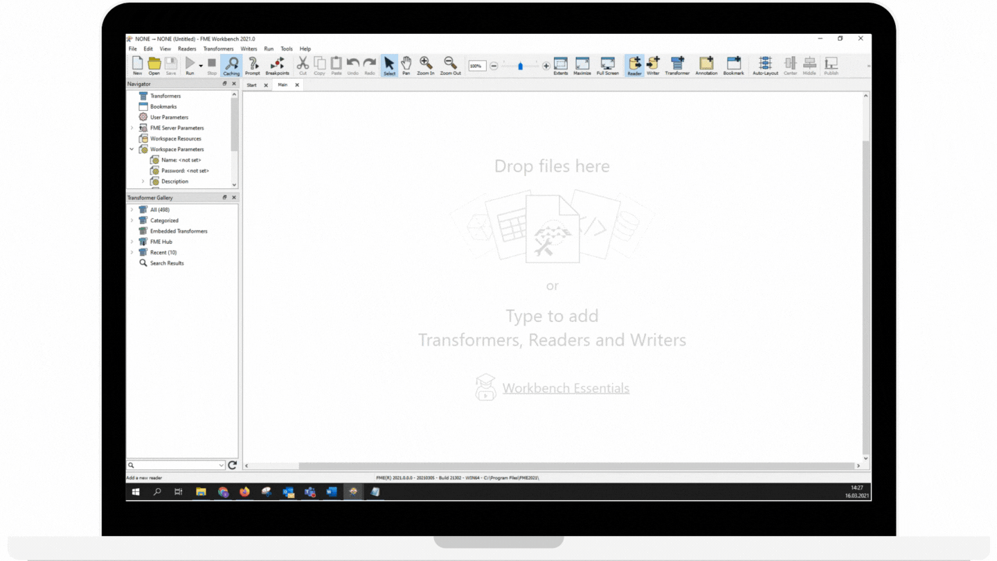
How FME works with data?
Meet FME and its capabilities to integrate data and automate processes:
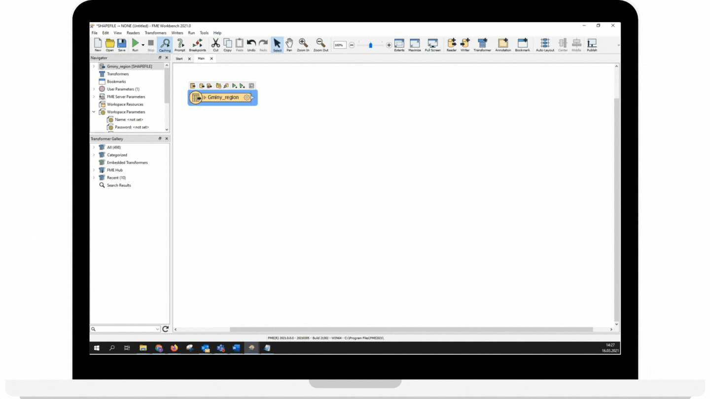
Connect data sources
Convert data from one format to another (or even from multiple formats) in the “drag and drop” interface without having to code!
- Move information between 450+ data sources and applications using a visual interface
- Increase possibilities with custom connections, such as an API, R, or Python
- Support your business decisions by eliminating data silos
Transform data
Perform unique data processing tasks using any combination of more than 500 transformers to modify data exactly for your needs
- Modify, filter, and make calculations using convenient tools
- Verify data to ensure the highest quality
- Create custom workflows without coding
- Adjust your workflows to the changing requirements
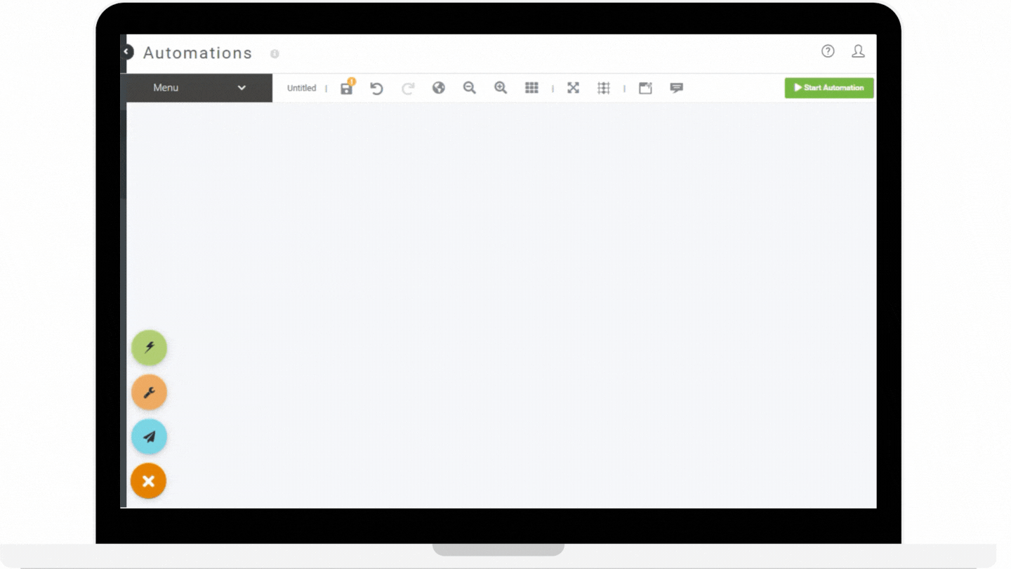
Automate workflows
Automatically convert and transform data 24/7
- Initiate automated data integration processes using event-based workflows
- Create schedules to run workflows at regular intervals
- Build automations using a visual interface
- Minimize your efforts and time spent on completing repetitive, mundane tasks
- Send notifications and transfer data directly to an output folder
FME – integration platform matched to your business needs
Stay on top with FME! See what benefits FME brings to our customers:
Why is partnering with us worth it?
Globema the only official Safe Software partner and FME reseller in Poland and Romania. We operate around Europe.
Our team has experienced FME experts and our skills are backed by many certificates: FME Certified Professional, FME Server Certified Professional, and FME Certified Trainer.
Trusted by


A step-by-step plan of our partnership
Implementing data integration and automation solutions is a complex process and we will guide you through every stage! We will support you from the beginning to the end, from the first meeting about your needs and requirements to addressing your problems with additional features. We are experienced in this field and data integration is our specialty. How will our partnership look?
1. Initial needs analysis
Together, we will define your needs and goals and take a closer look at the data you work with. You will learn about FME features that can be useful for your company. Then we will present a solution proposal and plan of work. You decide whether we start our partnership.
2. Implementation
We determine the details of our partnership and sign the contract. We deliver FME licenses necessary for the implementation and configure them in a chosen installation environment. We conduct training so that you know how to use your new tools independently after the implementation is complete.
3. Your satisfaction and further optimization
After we finish the implementation, we continue to support you in your processes and help optimize the solution so that your company receives maximum benefits. We’re open to further implementations of data integration and process automation.