FME for Municipal Planning Office in Łódź
About the project
The Municipal Planning Office (pol. Miejska Pracownia Urbanistyczna – MPU) in Łódź uses the FME Platform to create local zoning and land use plans, spatial analyses, and new solutions. These solutions improve MPU’s operations and make it easier for Łódź residents to access up-to-date information about their urban space.
Contents:
Industry: Architecture and planning, public sector
Country: Poland
Municipal Planning Office is a budget unit of the Łódź City Hall. It was founded in 2006, and its main tasks include creating urban plans and spatial analyses.
The main tasks of the Municipal Planning Office include preparing condition study projects and directions for Łódź’s spatial development. Moreover, MPU creates and maintains the register of local zoning and land use plans.
The Municipal Planning Office in Łódź was looking for solutions to improve their operations within 4 areas:
- Creating a map application, “PlanInfo”, to allow MPU to publish local plans and studies as well as launch e-services such as initial extracts and drawings related to local plans of given land plots.
- Handling the “PlanInfo” app created by MPU for updating information about the city’s current spatial policies. Such information includes up-to-date local zoning plans and studies about conditions and directions for the city’s spatial development.
- Accelerating analyses that MPU is required to complete periodically for different units, such as Central Transport Hub (pol. Centralny Port Komunikacyjny), National Real Estate Resources (Krajowy Zasób Nieruchomości), and the Central Statistical Office (Główny Urząd Statystyczny)
- Integrating data for MPU’s internal purposes – creating a system to support MPU’s document office operations


Project #1: A new map application, “PlanInfo”, for publishing local plans and land use studies
Challenge
Since 2012, MPU has been using a solution for publishing local plans and land use studies. However, this tool was no longer efficient. Moreover, software providers stopped supporting the web-map technology.
In 2020, MPU had to replace this old application with a new product. Therefore, the Office searched for a solution that could additionally allow it to launch e-services such as initial excerpts and drawing related to local plans for a given land plot.
This was the beginning of the COVID-19 pandemic, and MPU had to face significant budget restrictions. The Office wasn’t able to purchase a read-made, commercial tool. MPU could only create its own solution using tools it already owned: ArcGIS Online and FME.
Solution & benefits:
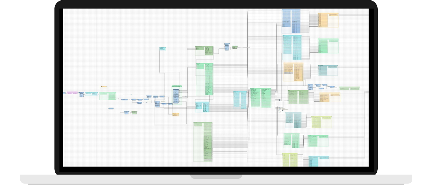
MPU used FME to build a series of processes and automate the generation and publishing of local plan excerpts in ArcGIS Online. FME also helped automatically connect these data with a front-end of the newly created app – PlanInfo.

Project #2: Handling the app created by MPU, PlanInfo. Updating data related to changes in the local zoning plan
Challenge
MPU must perform many tasks whenever a new local zoning plan becomes effective. These tasks are related to updating the spatial database: verifying object geometry, preparing and dividing rasters, and preparing materials automatically shared on the MPU’s website. The Office searched for a way to accelerate this process.
Solution & benefits:
MPU used FME to create the PlanInfo application, so it was familiar with the possibilities offered by the Platform. The Office knew this solution would be just as effective in automating work related to updating data in the app. Thanks to FME, the average update time was reduced from 12 hours to about 4-5 hours.
Project #3: Accelerating analyses for Central Transport Hub (pol. Centralny Port Komunikacyjny), National Real Estate Resources (Krajowy Zasób Nieruchomości), and the Central Statistical Office (Główny Urząd Statystyczny)
Challenge
MPU is responsible for preparing periodical analyses for different institutions, such as Central Transport Hub and National Real Estate Resources. These units manage lands owned by the State Treasury. Moreover, MPU prepared analyses for the Central Statistical Office.
Several times a year, the municipality is required to prepare a detailed report about plots managed by the institutions mentioned above. Such reports include information about plots’ purposes and terms of use as well as whether plots are placed within the borders of local zoning plans. In the case of Łódź, there are about 10,000 records needed to be verified and updated. Both the real estate details and local plans are constantly changing, so almost every time, the analysis has to be performed over again. In case the municipality is late delivering the report, property managers of the State Treasury impose a 500 PLN fine per delayed day.
Until recently, these analyses were very tedious and time-consuming. They took many hours out of employee schedules in other City Hall units, such as the Department of Architecture and Urban Planning. Completing the report manually would take the Department of Architecture about 3 weeks, and it was handled by a team of 5.
Solution & benefits:
With FME that prepares and uses the PlanInfo app data, the entire analysis process was 100% automated and currently takes about 15 minutes. It helps the Office avoid late fees, and employees can use their working time to complete other tasks.

Project #4: Integrating data for MPU’s internal purposes – creating a system to support MPU’s document office operations
Challenge
MPU searched for a way to improve handling clients who contact the Office to receive information about plots and their designers. Searching for such information manually was burdensome and time-consuming. Data were often outdated, and finding the right person and their contact information required tedious searching.
Solution & benefits:
MPU created a system to support its document office operations. When clients call the office to ask about a specific real estate, the system allows employees to instantly find it and correctly direct the client to the right urban designer.
The system is a map application. Thanks to the web scraping feature in the periodical FME processes, the app downloads data from MPU’s Public Information Bulletin and updates them on a map. When a different person takes over the responsibility for a specific area in the Public Information Bulletin, the changes are automatically reflected in the local geo-databases and the document office’s app. This solution significantly improves the office’s operations.
The beginnings of our cooperation
MPU used FME for the first time in its project related to transforming 3D building models and creating a 3D model of the existing city development. In this project, models and structures needed to be transformed, rotated, adjusted, and converted so that they could be quickly printed out in 3D. This is how a model located in the Lapidarium of Detail in MPU’s headquarters on Kościuszki 19 Street in Łódź.
In the beginning, MPU used FME mostly for 3D data creation. Currently, the Platform (combined with ESRI products) is used primarily to automate an increasingly large number of processes. FME helps prepare data for applications and web services.

For many years now, our cooperation with Globema has been very satisfying. Globema’s team members always have time for us, and we can count on their support. The entire company shows a great knowledge of the specifics of local government units such as ours. Globema’s events, for example, FME World Tour, are extremely inspiring and organized professionally.
Michał Brodowicz, Senior GIS Specialist, Municipal Planning Office, Łódź
FME implementation results in numbers
Implementing FME significantly increased the effectiveness of data processing:
200
faster data processing
Some of the data processing is now being completed up to 200 times faster compared to processing completed using the competitive solution
100
correct data
FME eliminated up to 100% of human errors that occurred during manual data entry and updates. Validating and verifying data from external sources also increases the quality and accuracy of external data.
More
processed data and new products
With FME, MPU can now process several times more data. The Office can also make more products and solutions with data created by FME.
New solutions and future plans
MPU can create new, innovative products thanks to creative ways of using data generated through FME processes. One example of such a product is a panel presenting spatial zoning of Łódź. This solution relies on data related to the progress of urban plans. These data are automatically updated through Python scripts written by MPU and launched in FME’s PythonCaller.
Currently, MPU is working on launching network services for local zoning plans and studies. This project is a result of the amendment of the act related to urban planning. MPU uses FME to transform GML datasets to spatial data published in the network services. The Office is also working on automating the process of verifying the consistency of topological data generated by designers with data from the land and building registers.

Why did MPU choose FME?
We evaluated various tools, including locally developed Python scripts, but FME stood out for its speed, efficiency in handling large data volumes, and user-friendly interface. We use Python for some processes, but FME excels in data transformation, especially for handling numerous files.
Michał Brodowicz, Senior GIS Specialist, Municipal Planning Office, Łódź
Would you like to achieve similar results?
See if FME would work well for your company. Fill out the form, and one of our experts will contact you to discuss your needs and schedule a demo.
You can also contact us by e-mail or give us a call:
fme@globema.pl
+ 48 22 848 73 13

Read other success stories
Grupa MTP
Saving time and reducing expenses through integrating different systems and data sources
Learn how Grupa MTP achieved efficient information flow between different departments and customers using a data integration platform.
Visoro Group
How do you automate manual tasks and upload data with just one script?
Learn how Visoro Group used the FME Platform to automate and accelerate data processing and integration by 750 times.